
Bradenton Neighbors in Public Records
The public block view is a set of limited records, not a household census. Manatee County parcel tools show lot lines, assessed owners, mailing addresses, and land facts. The voter file adds only released registered-voter fields. City permit and code records may name an applicant or owner. Historical directories and Sanborn maps describe an earlier block, but neither proves who is present now.
| Source | Block evidence | Access |
|---|---|---|
| County Property Locator | Parcel fabric, situs, owner, lot/block, districts | Free map browsing |
| MCPA parcel cards | Owner/mail distinction, exemptions, building and sale facts | Free, nightly updates |
| MCPA Search/Labels | Owners in an official municipal radius | Written PDF request and fee |
| DOS voter extract | Released active/inactive voter data by residence geography | Monthly disk request; protected data omitted |
| City permits and code | Address-linked public activity and status | Accela or focused records request |
| Reverse directories | Past adult or subscriber at an address | Library and local-history access |
| Sanborn maps | Historic block and building layout | Free digital sheets for four local editions |
Owners are not always occupants. A mailing address may be elsewhere, a vacant lot has no household, and a company or trust may hold title. Bradenton neighbors who rent, children, recent movers, and other household members do not become visible merely because the parcel is public.
Map a Bradenton Block
The County Property Locator supports a precise visual method. It does not have a verified public buffer export, so do not promise one. Begin at one known address and move only through parcels that can be seen and clicked.
- Enter the address or parcel number in “Find Address or Parcel Name/Number.”
- Zoom until the target polygon and nearby parcel lines are clear.
- Click each touching parcel, then the parcels across the road, and save parcel ID, situs, owner, and mailing address.
- Check subdivision, lot, and block so similarly named streets are not mixed.
- Use the parcel card for exemptions, building facts, and sale anchors, without treating any one field as proof of occupancy.
This process stays focused on the immediate block. For a full named-road chain, use the Bradenton street directory, which follows the address, deed, and historic record trail farther.
Bradenton Neighbor Radius Labels
The Property Appraiser's Search / Labels Request is the official option when a defined notice radius matters. For City of Bradenton work, the form includes a 300-foot choice. It asks for the subject property address or parcel IDs, the needed date, number of label sets, and whether all owners should appear. Other checkboxes cover county and municipal radius types.
| Bradenton radius | COB, 300 feet |
|---|---|
| Minimum charge | $25 plus $1 per page |
| Timing | At least 10 working days |
| Protected records | Addresses exempt under Chapter 119 are removed |
| Questions | Mapping, 941-748-8208 or mapping@manateepao.gov |
The service is less prone to visual radius errors than hand-selecting dozens of parcels. It still returns owners, not every resident. Condominium parcels, exempt addresses, and ownership entities require special care.
Bradenton Neighbors and Voter Data
Florida voter access is split between a personal status tool and a public file request. The online status lookup requires exact first name, last name, date of birth, and agreement. It is meant to confirm one person's own registration and cannot browse a block. The statewide extract can be filtered by released residence street or ZIP after receipt.
The file covers active and inactive registered voters, not all Bradenton neighbors. Social Security, driver-license, state-ID, and application-source data are confidential. Protected voter addresses and Address Confidentiality Program records are withheld. Voting history means whether an election was recorded, never the ballot choice.
Bradenton Neighborhood Civic Layers
Bradenton's Comprehensive Plan calls for a city neighborhood map and describes revitalization work through workshops, interviews, and surveys. The city's map hub also carries five ward maps and three community redevelopment areas. These layers help place a parcel within civic geography, but they contain no resident roster.
| Community layer | Official route | Directory status |
|---|---|---|
| City neighborhoods | Comprehensive Plan and Planning, 941-932-9408 | Public boundary map; no resident directory found |
| Five council wards | City Maps and Mayor & Council pages | Representative contacts and maps only |
| Three redevelopment areas | City Maps and CRA material | Program contacts, not households |
| Associations and HOAs | Ask Planning or City Clerk for a public liaison list | Private rosters are not presumed public |
| Civic and faith groups | Contact each group directly | Membership is private unless voluntarily published |
No authoritative current citywide roster of neighborhood associations with membership-directory status was found. That research gap should remain visible. An HOA's owner notice list is not the same thing as a directory of occupants.
Bradenton Neighbor Source Check
Official rolls and commercial neighbor tools answer different questions. The useful test is whether the source names its custodian, update cycle, field meaning, and correction route.
| Source type | Strength | Limit |
|---|---|---|
| Official parcel and GIS records | Current county-defined ownership and land fields | Not a full resident list |
| Official voter extract | Released registration fields under Florida law | Excludes nonvoters and protected data |
| Commercial compilations | May combine many old sources | Can merge names and keep stale addresses |
Return to the county or state custodian before relying on a result. A compilation cannot amend an assessor card, voter record, deed, or city file.
Request Bradenton Block Records
When a city permit, code file, planning record, or civic contact is not online, request the existing record from its custodian. Give the address, parcel ID, record type, and date range. Florida law does not require a requester to explain the purpose, and the city notes that large requests may take time.
Use the Manatee County public-record request route for county-held material.
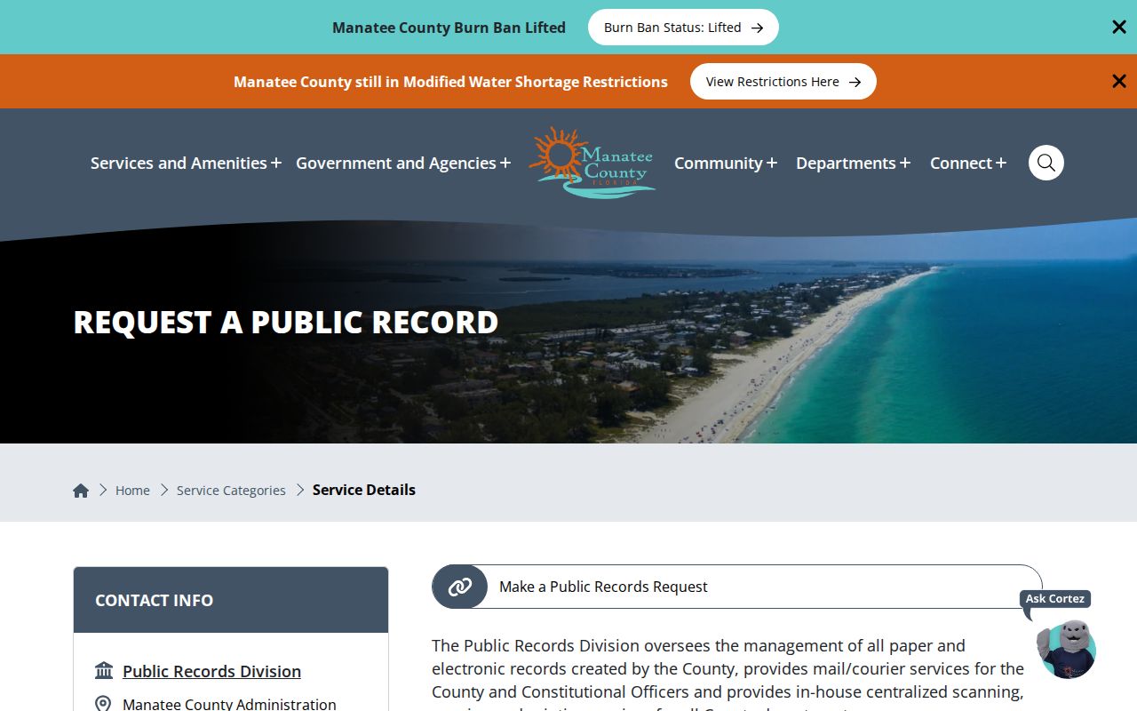
The request page provides a fallback when a mapped or searchable record is missing. Narrow wording reduces staff search time and the chance of a fee estimate.
Public Bradenton Community Contacts
Voluntary public membership pages can confirm that someone chose to publish an organizational role, but they do not describe everyone nearby. The Manatee Chamber's public group roster is one example of that limited community layer.
The captured local membership directory shows how a group may publish its own contacts.
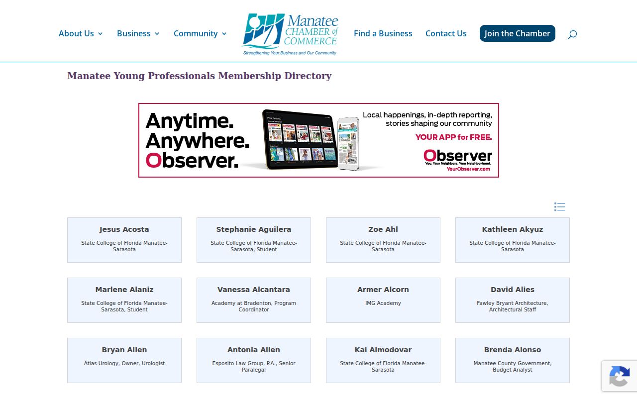
Use a dated voluntary listing only for the role it states. Do not infer a home address, household tie, or continuing membership from it.
Privacy for Bradenton Neighbors
Utilities, deliveries, school records, private association rosters, and congregation lists are not public block directories. Florida's Address Confidentiality Program provides substitute-address services for eligible people, and other exemptions in section 119.071 can suppress owner or voter addresses. A blank field can signal protection, not absence.
Even the FDLE neighborhood registry warns that a result cannot establish positive identity without fingerprint comparison. Specialized public-safety data should be read within its stated scope, not used to label a whole block or identify every resident.
Lawful use. Research Bradenton neighbors for civic awareness, reconnecting, or personal safety; never use public details to watch, intimidate, harass, or harm anyone.
Read Bradenton Neighbor Parcels
A parcel popup carries more context than a name. Record the parcel ID, physical address, assessed owner, secondary owner, mailing destination, subdivision, lot, block, acreage, land use, zoning, and current jurisdiction. Service layers may add fire district, school area, flood zone, evacuation zone, commissioner district, and census geography. These fields explain the block without claiming a private household fact.
Read the situs and mailing fields apart. A matching mailing destination may support owner occupancy, especially when considered with a homestead indicator, but it still does not name every person at the address. A different mailing destination can belong to an out-of-area owner, trust, or business. It does not prove that the lot is vacant or identify a renter.
- Parcel
- A county-defined unit of land with its own identifier.
- Situs
- The physical location of the parcel, distinct from the owner's mail address.
- Plat
- A recorded map that lays out a subdivision, lots, blocks, and related boundaries.
- Homestead
- A property-tax status that can support owner occupancy but does not list a household.
Subdivision, lot, and block are often stronger than a shared road name or postal code. They keep adjoining land together when streets cross a ward, ZIP, or city boundary.
Past Bradenton Neighbors by Block
Historical block research uses a different evidence set. A reverse or criss-cross directory begins with the address and may name an adult subscriber or householder for one publication year. An alphabetical directory can then confirm the spelling, occupation, spouse notation, or cross-reference. Coverage gaps and unlisted households mean that a missing entry is not proof that no one lived there.
Bradenton Sanborn fire-insurance maps survive for 1911, 1915, 1922, and 1926. They show building footprints, construction details, uses, and older street or house numbers, not resident names. Pair a map with the directory and deed legal description. Catalog searches should try Braidentown, Bradentown, Bradenton, and the former City of Manatee because official place names changed and the cities consolidated in 1943.
Federal census schedules can add enumerated households at ten-year intervals once the 72-year release period has passed. The destroyed 1890 federal census creates a gap. Florida's 1885 census, tax and deed records, newspapers, cemetery or church material, and the 1900 census provide overlapping checks. Each item should retain its date so past Bradenton neighbors are not presented as current ones.