
Walk a Bradenton Street by Address
A useful Bradenton street directory is assembled one address at a time. The Manatee County Property Appraiser links a situs address to a parcel and assessed owner. County GIS confirms that parcel on the map. The Clerk's recorded instruments document transfers, while released voter data and reverse directories can add dated evidence of adult residents. No source supplies a complete household, so label every name as an owner, recorded party, registered voter, permit party, or directory-listed occupant.
- Enter the house number and street name in the Property Appraiser search. Copy the situs, parcel ID, owner, separate mailing address, legal description, subdivision, lot and block.
- Open the parcel in the county Property Locator. Pan along the requested segment and click only polygons actually touching that street.
- Use the owner, sale date, and legal description in the Clerk's deed index. Keep instrument numbers for deeds recorded after 2020.
- Distinguish the private voter self-status lookup from a lawful Chapter 98 voter-file request. A released street filter covers registered voters only.
- For an older household, use a reverse directory, then confirm the printed name in an alphabetical directory, census, or other dated source.
This sequence prevents a common address error. A matching owner mailing address and situs can support owner occupancy, and a homestead exemption adds context, but neither proves the full household. A different mailing address may indicate an absentee owner, not the identity of a renter.
Search Bradenton Property by Street
The free Manatee County Property Appraiser Property Search is the strongest official address-to-owner starting point. Its combined field accepts an owner name, numeric street address plus street name, or parcel ID. Data are updated nightly. An asterisk can extend an exact owner, situs, or parcel entry, while advanced criteria can narrow a larger Bradenton street directory result.
| Property field | Input | How to use it |
|---|---|---|
| Owner last name, first name | Text | Find parcels tied to a known owner. |
| Address number and street | Combined text | Open a situs or broaden a street search. |
| Parcel ID | Exact identifier | Return to the same land despite a label change. |
| Quick Property Search | Button | Runs the owner, address, or parcel query. |
Results can expose owners, situs and mailing addresses, legal description, subdivision, lot and block, exemptions, values, structures, recent permits, and latest-sale fields. They may be sorted, mapped, or exported. The live property search shows the official entry point:
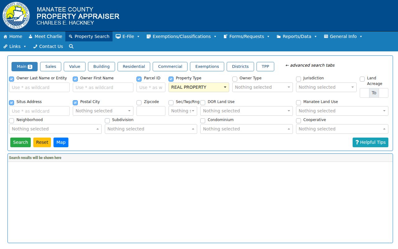
Use the parcel card as a dated ownership and tax record, then seek another source before calling an owner a resident.
Map a Bradenton Street Segment
Text searches can miss a unit, suffix, or differently stored address. The County Property Locator accepts “Find Address or Parcel Name/Number,” then zooms to a browsable parcel layer. Click consecutive polygons to capture parcel ID, situs, owner mailing address, subdivision, lot and block, jurisdiction, zoning, flood area, census geography, and service districts. It is a current GIS layer, not a deed archive.
The Property Appraiser map guidance shows how navigation complements a street query:
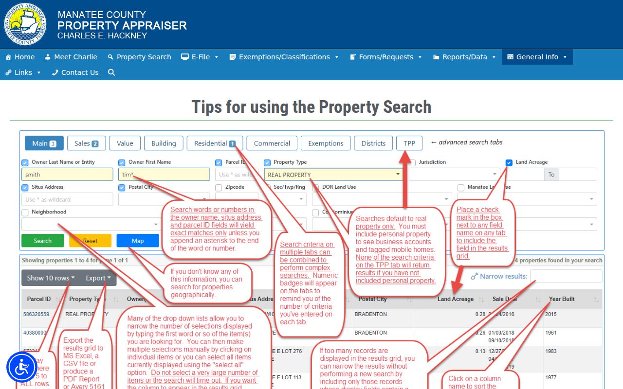
Record only parcels on the intended segment because one Bradenton street may cross a ZIP, ward, or city boundary. No verified public buffer export was found, so do not treat a hand-drawn radius as official.
- Parcel
- A mapped land unit with its own identifier and tax record.
- Situs address
- The physical parcel location, separate from the owner's mailing destination.
- Plat
- A recorded subdivision map establishing lots, blocks, streets, and easements.
- Criss-cross directory
- A directory arranged by street and house number rather than surname.
Bradenton Records Keyed by Address
Each source answers a different street-directory question. Property and GIS records establish the parcel and assessed owner. Deeds document legal transfers. Plats preserve subdivision geography. Permits and code files date public activity. Released voter data and historical directories can add limited resident evidence.
| Address source | Custodian | Street evidence | Access route |
|---|---|---|---|
| Parcel and tax roll | Manatee Property Appraiser | Owner, situs/mail distinction, legal description, structure and sale anchors | Free web search; office or phone fallback |
| Parcel GIS | Manatee County/MCPA | Parcel fabric, lot/block, jurisdiction, zoning and districts | Free click-by-click map |
| Deeds and liens | Manatee Clerk | Grantor/grantee, date, instrument and legal description | Online from 1978; older books at Clerk |
| Permits and code | City or County | Work or case dates, public parties, status | Accela, map, or focused request |
| Voter file | Florida Division of Elections | Released registered-voter fields by residence | Lawful extract request; protected data omitted |
| Reverse directory | Local history collections | Printed adult or subscriber at one address in one year | Library or archive research |
The parcel ID and legal description are the stable bridge between roll, plat, deed, and permit evidence. A street name can change or cross jurisdiction lines, so preserve those keys with the source date.
Follow Bradenton Deeds Along Streets
Save the parcel owner, latest-sale date, and legal description. In the Manatee Clerk Official Records index, search the owner as grantee, choose Deed, and narrow dates around the sale. Capture the grantor, recording date, instrument number, consideration, and exact description. To step backward, search that grantor as an earlier grantee while holding subdivision, lot, and block constant.
The web index begins January 3, 1978. Online images begin August 12, 1981 at Official Records Book 1012, so a hit does not guarantee an image. Earlier grantor/grantee books require Public Access at the Historic Courthouse. After January 1, 2020, new Official Records instruments no longer receive book/page numbers. The Plat Records search bridges an address to its recorded development map.
Free index access, a certified copy, and office-held earlier books are distinct products. When legal reliance matters, follow the Clerk's certified-copy route rather than treating a web image as complete.
Bradenton Permits by Address
Construction and code records can date a change that explains a street-directory mismatch. MCPA summarizes recent permit numbers, application and closure dates, type, description, amount, and status. City parcels can be checked through Bradenton Accela; an unincorporated parcel with a Bradenton mailing label belongs with Manatee County.
The Bradenton permit portal provides the municipal address route:
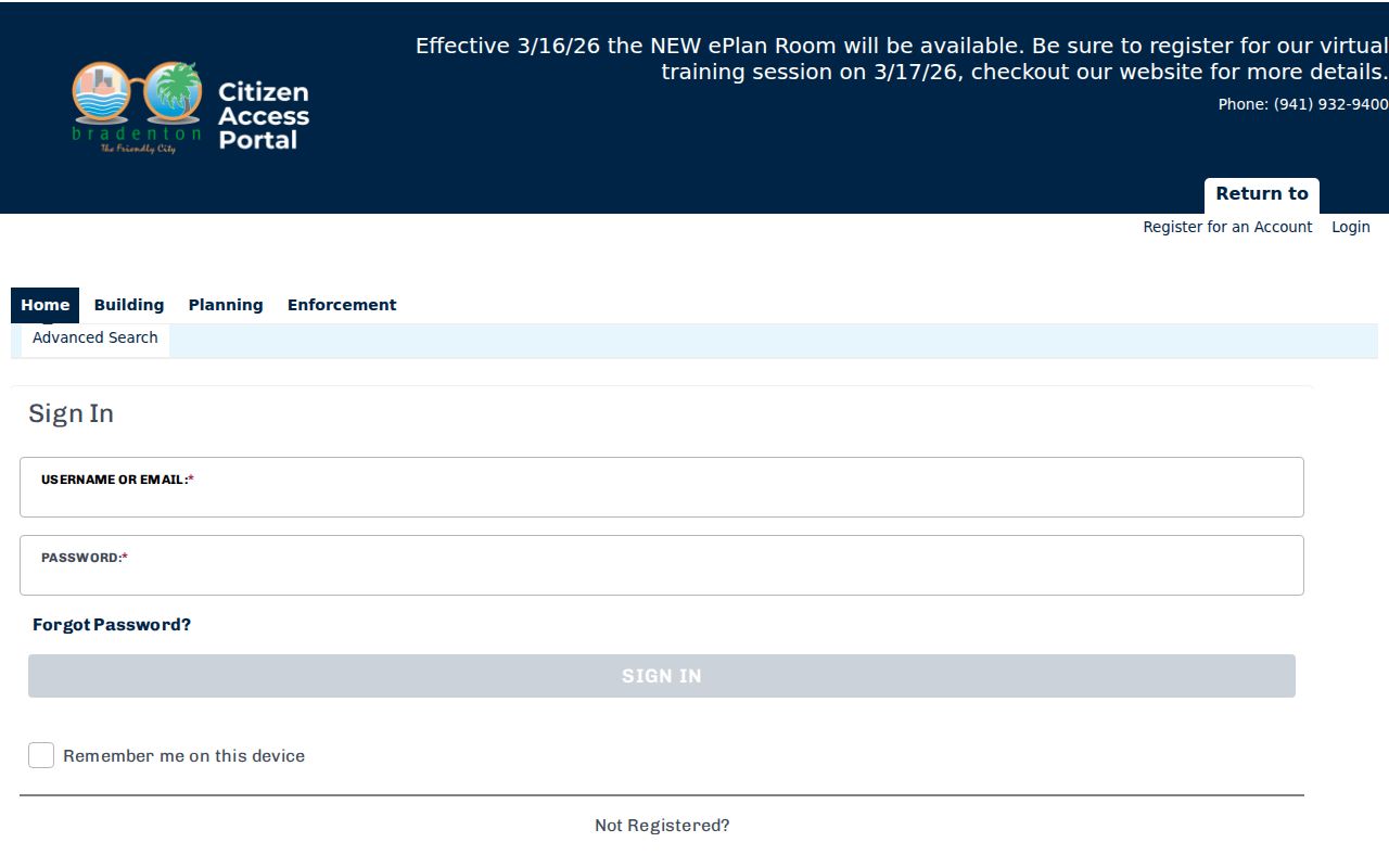
A listed applicant or contractor documents a project role, not residence. The Bradenton comprehensive plan and maps help confirm city geography:
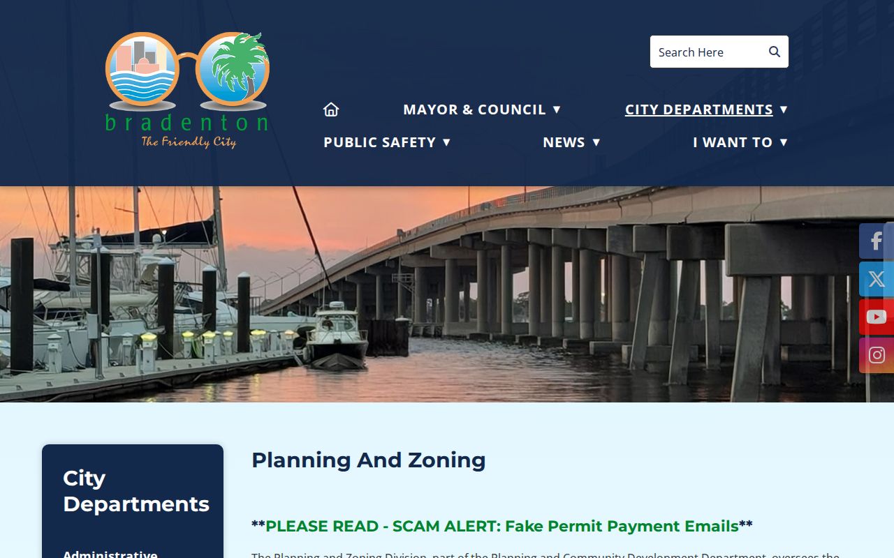
If a city file is absent online, use a focused public-record request. County permits can be requested online, by phone, in writing, or in person through the county Public Records Office.
Verify Bradenton Street Jurisdiction
A “Bradenton, FL” postal line reaches beyond incorporated Bradenton into West Bradenton, Bayshore Gardens, South Bradenton, and east-county communities. ZIP, municipality, ward, fire district, precinct, and parcel jurisdiction are separate. Check the parcel's jurisdiction or tax district before sending permit or code requests to the City.
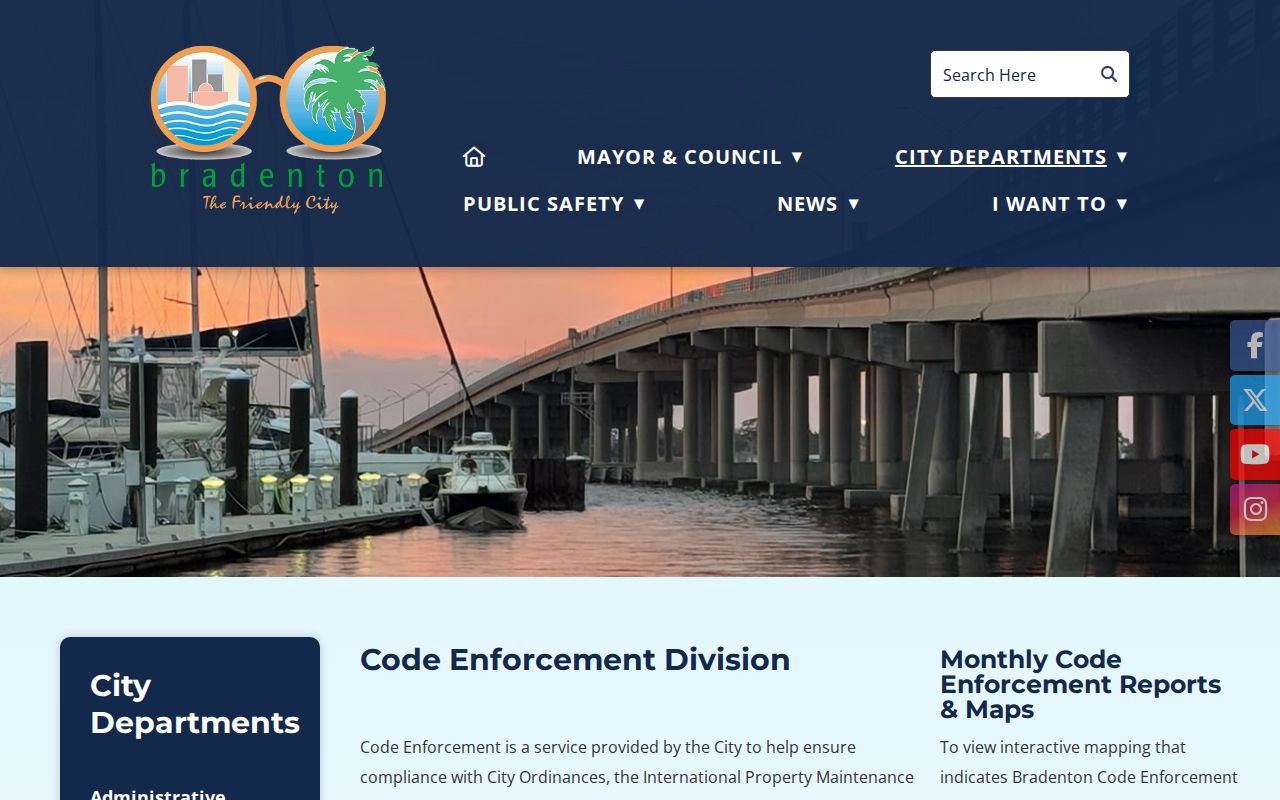
Downtown's numbered grid, Old Manatee, the Village of the Arts, Wares Creek, Ballard Park, Palma Sola, and newer eastern growth reflect different subdivision eras. A similar address across decades may involve a renamed street, replatted parcel, or changed municipal line. The Bradenton code page shows the city-side route:
Central Library's digitized street guide says Bradenton replaced almost all named streets and avenues with numbered roads under an ordinance effective December 1, 1926. It is not a universal modern-address crosswalk for every parcel. Compare the booklet with plats, consecutive directories, legal descriptions, and historical maps before translating a specific address.
Read Older Bradenton Streets
Historical searches need Braidentown, Bradentown, Bradenton, and Manatee. The spelling changed in 1905 and 1924, and Bradenton consolidated with the City of Manatee in 1943. Sanborn catalogs use “Bradentown” for 1911, 1915, and 1922 and “Bradenton” for 1926. Their sheets show street names, numbers, footprints, materials, and uses, but not occupants.
A reverse directory can pivot an old house number to a listed adult or subscriber. Confirm that name in the alphabetical volume and a census or deed. The newest public federal census is 1950 under the 72-year rule. For collection coverage, use the Bradenton city directory guide; this street directory stays with the address chain.
Note: Search all three Bradenton spellings plus Manatee when an old map or directory appears to be missing.
Bradenton Voter Data by Street
The Manatee Supervisor of Elections “Am I Registered?” page is an individual status tool. It requires exact identifying information and is not a public browse-by-address street directory. Broader Florida voter-file access follows Chapter 98 procedures. A lawfully obtained released file can be filtered by residence geography, but confidential fields and protected-voter addresses are omitted.
Even a careful filter represents registered voters only. It excludes minors, unregistered adults, and anyone protected from disclosure, and it never reveals ballot choices. Match a released voter address to the parcel situs and date, then describe the result only as registration evidence. Do not use a same surname to infer household relationships.
Limits of Bradenton Street Records
No official Bradenton street directory returns everyone who lives on a street. The property roll names assessed owners and tax-mail destinations, not all renters, children, relatives, or guests. A voter extract covers registered voters whose fields may lawfully be released, not unregistered people or ballot choices. Protected voters and owners may have address fields withheld. DMV addresses, utility customers, delivery data, school records, and private association rosters are not ordinary public household lists.
Seasonal ownership makes careful labels especially important in Manatee County. An out-of-state mailing address can identify where tax correspondence goes, while the situs remains in Bradenton. Homestead status supports a claimed primary residence but still does not name the household. Report the source date and the role each record assigns.
Lawful use. Bradenton address records support lawful personal research, family history, property study, and civic transparency. Never use them to stalk, harass, intimidate, or harm anyone.